
UAV fleet and sensors
-
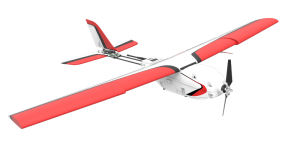
- Lancaster Precision Hawk
-
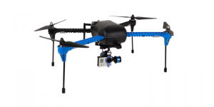
- Iris
-
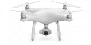
- DJI Phantom
-
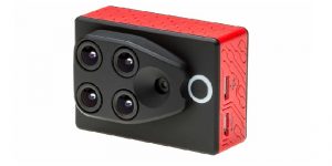
- Multispectral sensor
-
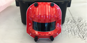
- LiDAR sensor
Climate Lab in action
-
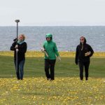
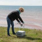
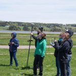
- Establishing ground control points
-
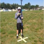
- Establishing a ground control point
-
- Calibrating the UAV
-
- Conducting preflight checks
-
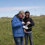
- Conducting preflight checks
-
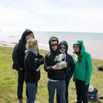
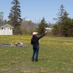
- Maintaining visual contact
-
- Landing the UAV
-
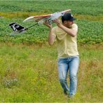
- Launching the Precision Hawk
-
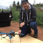
- Evan MacDonald, MSc (UPEI)
Applications
Coastal erosion monitoring
Precision agriculture
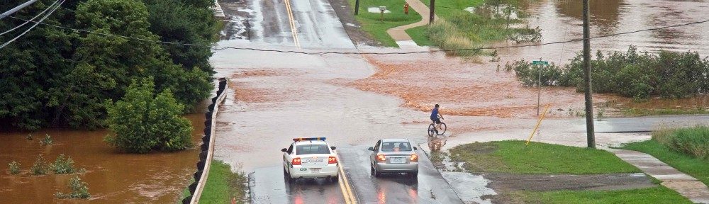
Infrastructure inspection
Data collection for research and tools (e.g., CLIVE)