
By Dr. Adam Fenech
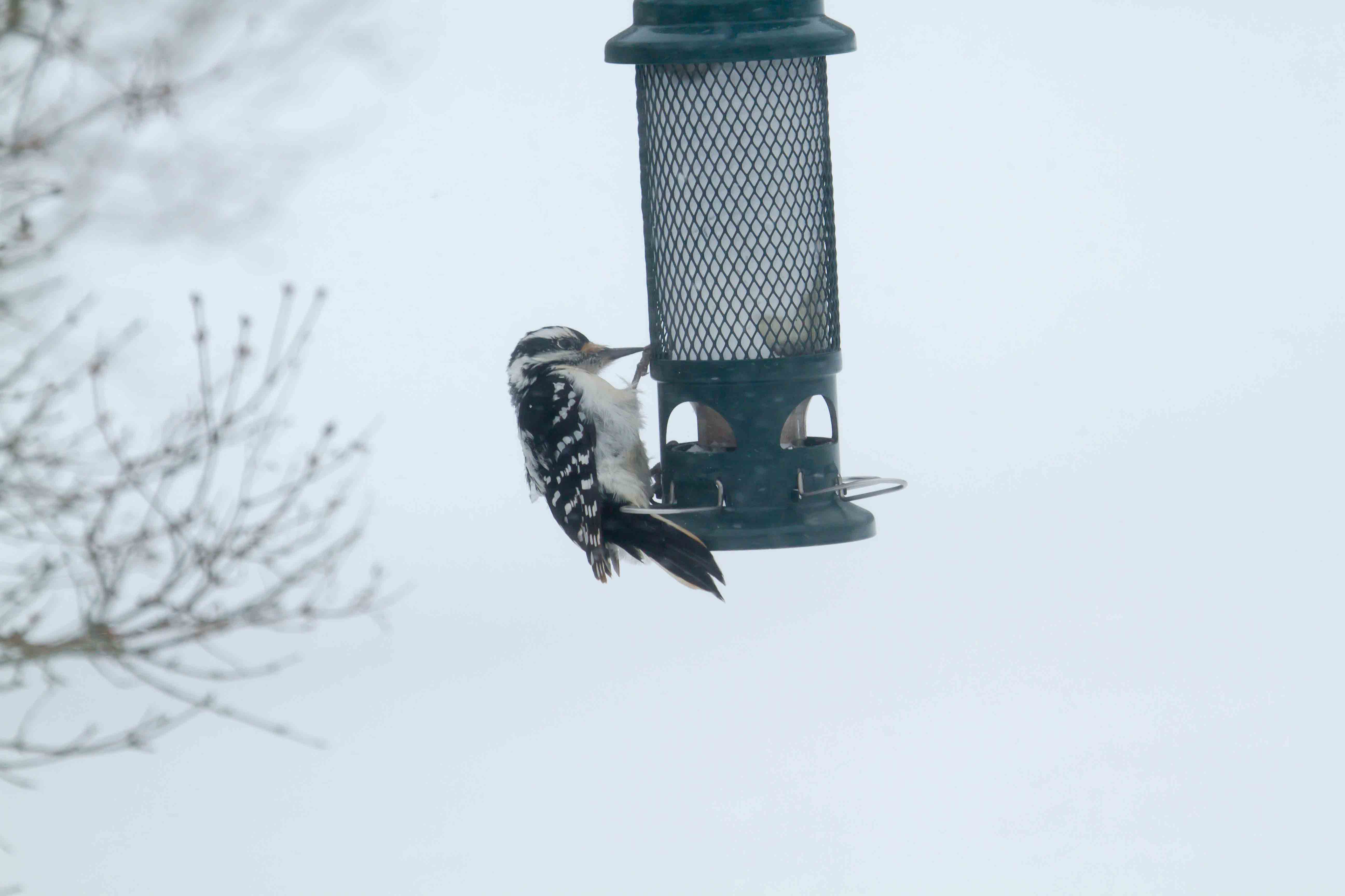
Hairy Woodpecker. Photo by Don Jardine.
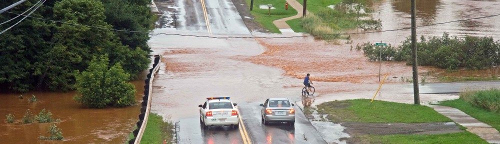
Wow! Another winter storm hit PEI this February long weekend bringing back memories of White Juan. White Juan refers to the brutal blizzard of February 19, 2004 nicknamed after Hurricane Juan, a storm that hit PEI on September 29, 2003 with wind gusts up to 140 km/h causing flooding, uprooting of trees and infrastructure damage in the Charlottetown Harbour. White Juan brought 120 km/h winds and 76.6 cm of snow to Charlottetown over a 48-hour period. This weekend’s storm was no Juan-a-bee, however, but the real deal. Environment Canada is reporting that 86.8 centimetres (cm) of snowfall was measured at Charlottetown airport over Sunday and Monday with winds gusting to 128 km/h on Monday making it a more severe storm than White Juan – perhaps we can name the storm White Juan’s Big Brother. Good preparations and planning helped PEI emerge relatively well this past weekend, and community leaders should be commended for their work in getting the message out to take this storm seriously. This storm, together with the heavy storms of two weeks ago (110 cm of snow from February 1-7) has me asking “So why so much snow these past few weeks?”
Yes, we can all blame the polar vortex, but it is a symptom not the cause. The northern polar vortex is a large region of air that circles the North Pole (counter-clockwise) in the high atmosphere dripping high colder air to the surface of the Earth. The northern polar vortex is kept in place by the northern jet stream, a west-to-east warmer wind that flows around the Earth between the upper and lower atmospheres driven by the differences between the cold north and the warmer south. Sometimes the northern jet stream meanders like a stream causing a piece of the polar vortex to break off and plunge to the surface over Canada bringing cold air and snow.
These past few weeks, a combination of high pressure zones on the west and east coasts of North America is driving the cold, wintery weather on PEI. A strong high pressure system off the west coast of Canada (known as the Eastern Pacific Oscillation or EPO) has moved high into Alaska (where temperatures are +7°C today) pushing the northern jet stream high on the west coast allowing the polar vortex to move further south into central Canada (where temperatures were -16°C yesterday). Many times, this southern movement of the polar vortex is blocked from moving into the Atlantic provinces by a strong high pressure system off of the east coast of Canada (known as the North Atlantic Oscillation or NAO). These past few weeks, however, the NAO is not blocking the polar vortex but helping steer the storm activity up the east coast.
The bad news is that both the NOAA (US National Oceanic and Atmospheric Administration) Climate Forecast System and the European Centre for Medium-Range Weather Forecasts predict a continuing pattern of wintery weather through to the beginning of March with two more weeks of below normal temperatures, and a risk of significant snowfall events. Mind you, the models are showing not such amplified effects, meaning not as severe cold or as much snow, but certainly no reprieve from winter as of yet.
All of this snow cover moving into March raises concerns about flooding events. There is no exact correlation between snow cover and flooding – some of the worst floods come from storms when there is no snow cover, and sometimes a large snowpack melts slowly over time creating no floods. But the risk is there, and should be watched into March.
Speaking of watching, the UPEI Climate Lab has worked with many natural history experts from across the province to produce a Climate Diary that helps identify and record observations of naturally-occurring plant and animal life cycle events over time on Prince Edward Island. As the years roll on, the Climate Diary will provide a written record of changes in the environment as they occur year-to-year over the next 25 years. These records will help scientists understand changes in the climate system and how these events are influenced by seasonal and inter-annual variations in climate. And eventually, these records will be a written testament to the effects of global climate change as temperatures warm through the decades, and precipitation patterns change. The Climate Lab will be hosting two training sessions for the public on how to identify P.E.I.’s plants and birds that are mentioned in the Climate Diary – the first is the morning of March 3 and the second is the evening of March 30. For more details, email climate@upei.ca or call us at 620-5221.

PEI Climate Diary